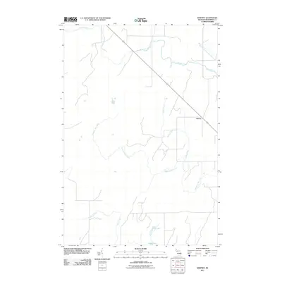
2011 Map of Whitney
USGS Topo · Published 2011About this map
Whitney stands as a focal point in this portion of Menominee County, situated along a transportation corridor that bisects the northern Upper Peninsula landscape. The area is defined by an intricate network of drainage systems, including the headwaters of Tenmile Creek and the meandering path of Whitney Creek. This terrain illustrates a classic northern forest hydrology where small, named lakes like Indian Lake and Little Indian Lake are connected by a web of seasonal and perennial streams.
Find a feature on this map
9 named features on this map. Tap any name to fly to it.
Don’t see what you’re looking for? This feature index may not catch every label — zoom into the map to look around manually.
Map Details
Editions of this 2011 Whitney Map
This is the sole edition of this map. No revisions or reprints were ever made.
Other maps of this area

1932 · Bark River NE
USGS Topo · 1:31,680

1932 · Whitney NE
USGS Topo · 1:31,680

1932 · Whitney SE
USGS Topo · 1:31,680

1954 · Escanaba
USGS Topo · 1:250,000

1956 · Foster City
USGS Topo · 1:62,500

1957 · Escanaba
USGS Topo · 1:250,000

1958 · Escanaba
USGS Topo · 1:250,000

1963 · Bark River
USGS Topo · 1:62,500

1963 · Powers
USGS Topo · 1:62,500

1963 · Schaffer
USGS Topo · 1:62,500