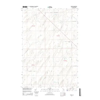
2014 Map of Whitney
USGS Topo · Published 2014About this map
Whitney anchors the eastern portion of this Menominee County landscape, situated along the diagonal path of M-69. The terrain is defined by a dense network of drainage systems, including the meandering Fortyseven Mile Cr and Whitney Cr, which flow through the forested blocks of the Public Land Survey System. To the south, the waters of Indian Lake and Little Indian Lake provide distinct landmarks amidst a grid of local roads named for early families and settlers, such as Roshak Ln and Wieciech Ln. The map reveals a rural geography where transition between wetland and timber is managed by a series of county roads like Co Road 400. This 2014 survey documents the persistence of small-scale settlement patterns and traditional land divisions in the Upper Peninsula, showing how local transit routes like Chicken Farm Rd still follow the original section lines.
Find a feature on this map
41 named features on this map. Tap any name to fly to it.
Don’t see what you’re looking for? This feature index may not catch every label — zoom into the map to look around manually.
Map Details
Editions of this 2014 Whitney Map
This is the sole edition of this map. No revisions or reprints were ever made.
Other maps of this area

1932 · Bark River NE
USGS Topo · 1:31,680

1932 · Whitney NE
USGS Topo · 1:31,680

1932 · Whitney SE
USGS Topo · 1:31,680

1954 · Escanaba
USGS Topo · 1:250,000

1956 · Foster City
USGS Topo · 1:62,500

1957 · Escanaba
USGS Topo · 1:250,000

1958 · Escanaba
USGS Topo · 1:250,000

1963 · Bark River
USGS Topo · 1:62,500

1963 · Powers
USGS Topo · 1:62,500

1963 · Schaffer
USGS Topo · 1:62,500