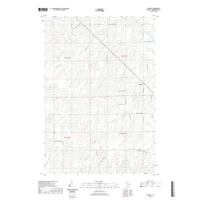
2019 Map of Whitney
USGS Topo · Published 2019About this map
Whitney stands as a focal point in this portion of Menominee County, situated where the G 30 RD corridor cuts diagonally through the Upper Peninsula landscape. The terrain is defined by a dense network of drainage systems, including Whitney Creek and the southern reaches of Tenmile Creek, which navigate the wetlands and timberlands characteristic of the region. Local nomenclature is deeply rooted in the rural road network, with family-named routes such as Bartoil Ln, Zwacki Lane D1, and Roshak Lane D1 providing evidence of the area's land ownership patterns. To the south, the landscape softens into the basins of Little Indian Lake and Indian Lake, while the Escanaba to Hermansville State Trail follows a former railroad grade, reflecting the evolution of transportation from industrial timber hauling to modern recreational use.
Find a feature on this map
47 named features on this map. Tap any name to fly to it.
Don’t see what you’re looking for? This feature index may not catch every label — zoom into the map to look around manually.
Map Details
Editions of this 2019 Whitney Map
This is the sole edition of this map. No revisions or reprints were ever made.
Other maps of this area

1932 · Bark River NE
USGS Topo · 1:31,680

1932 · Whitney NE
USGS Topo · 1:31,680

1932 · Whitney SE
USGS Topo · 1:31,680

1954 · Escanaba
USGS Topo · 1:250,000

1956 · Foster City
USGS Topo · 1:62,500

1957 · Escanaba
USGS Topo · 1:250,000

1958 · Escanaba
USGS Topo · 1:250,000

1963 · Bark River
USGS Topo · 1:62,500

1963 · Powers
USGS Topo · 1:62,500

1963 · Schaffer
USGS Topo · 1:62,500