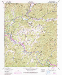
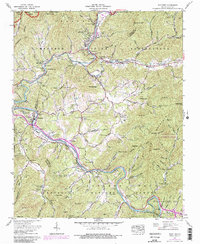
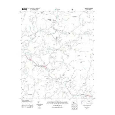
1967 Map of Whittier
USGS Topo · Published 1990About this map
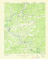
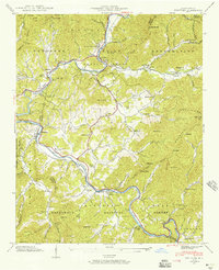
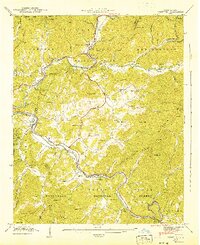
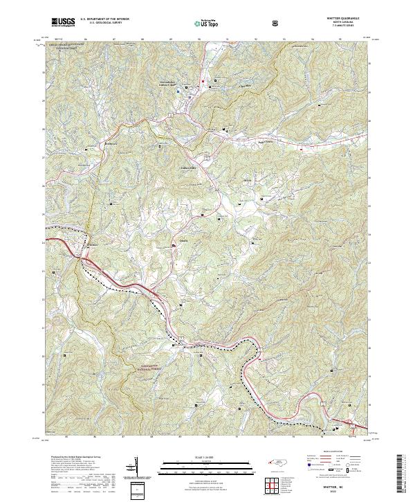
The Cherokee Indian Reservation defines the cultural and geographic landscape of this section of the Great Smoky Mountains, where the confluence of the Oconaluftee River and Tuckasegee River anchors local life. In the town of Cherokee, mid-century tourism is evident at attractions like Frontierland, Santa's Land, and the Mountainside Theater, which sits near the Oconaluftee Indian Village. The Southern Railway winds through the river valleys, connecting settlements like Whittier and Wilmot to the larger rail network. High ridges such as Thomas Peak and Welch Top separate deep coves where families established landmarks like the Bumgarner Cemetery and Hyatt Chapel Church. This survey captures the region as development for both the reservation and the surrounding Nantahala National Forest expanded, including the early footprints of the Qualla Housing Project and the Blue Ridge Parkway.
Find a feature on this map
105 named features on this map. Tap any name to fly to it.
Don’t see what you’re looking for? This feature index may not catch every label — zoom into the map to look around manually.
Map Details
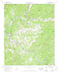
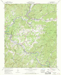
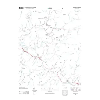
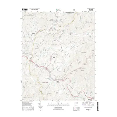
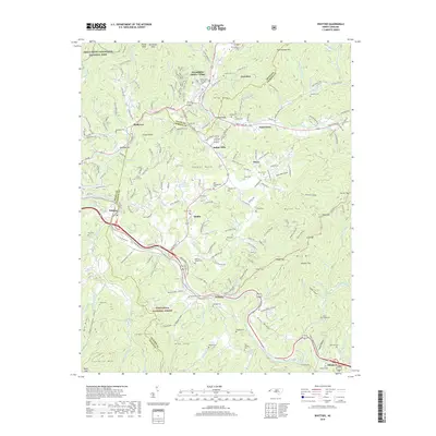
Editions of this 1967 Whittier Map
5 editions found
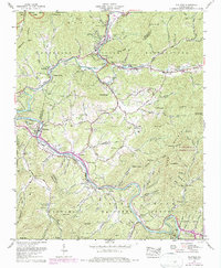
Historical Maps of Cherokee Through Time
9 maps found
Featured Locations
- Whittier, NC
- Birdtown Community, NC
- Painttown Community, NC
- Wolftown Community, NC
- Cherokee, Yellowhill Community