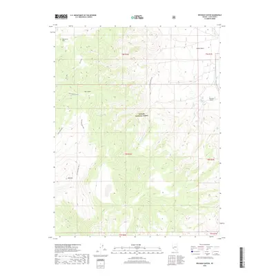
2018 Map of Wichman Canyon
USGS Topo · Published 2018About this map
Toiyabe National Forest dominates this section of Lyon County, where the high desert terrain of the Pine Grove Hills meets deep drainage systems. The landscape is defined by its vertical relief, rising toward the summit of Bald Mtn and falling away into the carved depths of Wichman Canyon and Nye Canyon. A network of high-elevation paths, including the Bald Mountain Trail and Sweet Peak Trail, indicates the historical movement of forest management and recreation through these ridges.
Find a feature on this map
20 named features on this map. Tap any name to fly to it.
Don’t see what you’re looking for? This feature index may not catch every label — zoom into the map to look around manually.
Map Details
Editions of this 2018 Wichman Canyon Map
This is the sole edition of this map. No revisions or reprints were ever made.
Other maps of this area

1891 · Wellington
USGS Topo · 1:125,000

1893 · Wellington
USGS Topo · 1:125,000

1909 · Hawthorne
USGS Topo · 1:250,000

1909 · Bridgeport
USGS Topo · 1:125,000

1911 · Bridgeport
USGS Topo · 1:125,000

1911 · Hawthorne
USGS Topo · 1:250,000

1915 · Hawthorne
USGS Topo · 1:250,000

1920 · Bridgeport
USGS Topo · 1:125,000

1948 · Walker Lake
USGS Topo · 1:250,000

1956 · Mt. Grant
USGS Topo · 1:62,500