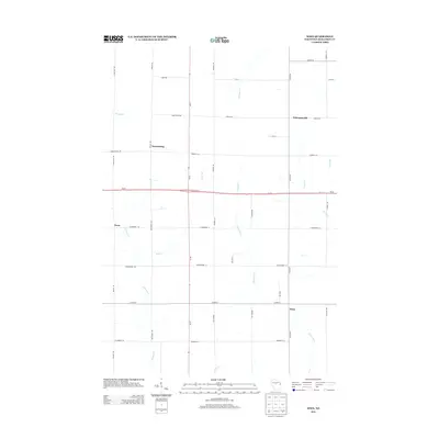
2013 Map of Wien
USGS Topo · Published 2013About this map
The agricultural landscape of Marathon County is defined here by its intersection of rural roads and small crossroads settlements. Wien and Wuertsburg anchor the southern and northwestern sections of the map, respectively, while the tiny hamlet of Schnappsville sits near the eastern edge. This area is heavily influenced by its drainage patterns, with numerous small waterways including Fenwood Cr and Scotch Cr cutting through the fields and woodlots. The map reveals a strictly organized grid of local roads, such as Co Hwy-N and Pioneer Rd, which facilitate the dairy farming and timber interests that have historically sustained this portion of central Wisconsin. The presence of Wi-29 running east-west provides a modernized corridor through a terrain still largely shaped by the winding courses of Hamann Cr and Randall Cr.
Find a feature on this map
42 named features on this map. Tap any name to fly to it.
Don’t see what you’re looking for? This feature index may not catch every label — zoom into the map to look around manually.
Map Details
Editions of this 2013 Wien Map
This is the sole edition of this map. No revisions or reprints were ever made.
Other maps of this area

1902 · Marathon
USGS Topo · 1:125,000

1951 · Athens
USGS Topo · 1:48,000

1951 · Hamburg
USGS Topo · 1:48,000

1953 · Marathon
USGS Topo · 1:48,000

1953 · Stratford
USGS Topo · 1:48,000

1953 · Eau Claire
USGS Topo · 1:250,000

1953 · Rice Lake
USGS Topo · 1:250,000

1954 · Iron Mountain
USGS Topo · 1:250,000

1955 · Green Bay
USGS Topo · 1:250,000

1958 · Eau Claire
USGS Topo · 1:250,000