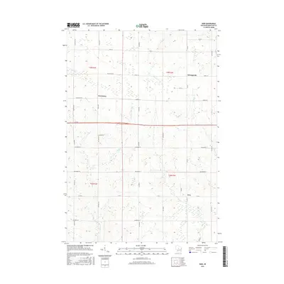
2015 Map of Wien
USGS Topo · Published 2015About this map
Wien serves as a primary point of reference in this Marathon County landscape, situated where Co Rd N and Wien Dr converge. The area is characterized by a grid-like network of country roads named for local flora and families, such as Elderberry Rd, Huckleberry Rd, and Wuertzburg Rd. Small, dispersed settlements like Wuertsburg and Schnappsville anchor the rural survey sections, which are defined by their proximity to numerous drainage systems. These watercourses, including Fenwood Cr and Scotch Cr, create subtle topographic variations across the agricultural terrain. The map's layout reflects a deeply established Midwestern township structure, where family farmstead locations are likely indicated by the placement of structures along thoroughfares like Pioneer Rd and Silver Leaf Rd.
Find a feature on this map
44 named features on this map. Tap any name to fly to it.
Don’t see what you’re looking for? This feature index may not catch every label — zoom into the map to look around manually.
Map Details
Editions of this 2015 Wien Map
This is the sole edition of this map. No revisions or reprints were ever made.
Other maps of this area

1902 · Marathon
USGS Topo · 1:125,000

1951 · Athens
USGS Topo · 1:48,000

1951 · Hamburg
USGS Topo · 1:48,000

1953 · Marathon
USGS Topo · 1:48,000

1953 · Stratford
USGS Topo · 1:48,000

1953 · Eau Claire
USGS Topo · 1:250,000

1953 · Rice Lake
USGS Topo · 1:250,000

1954 · Iron Mountain
USGS Topo · 1:250,000

1955 · Green Bay
USGS Topo · 1:250,000

1958 · Eau Claire
USGS Topo · 1:250,000