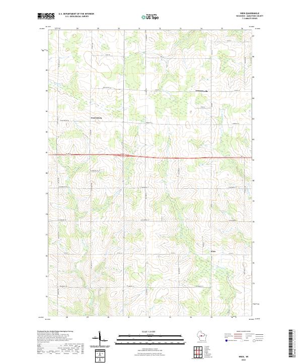
2022 Map of Wien
USGS Topo · Published 2022About this map
Wuertsburg and the nearby crossroads of Schnappsville anchor this rural landscape in western Marathon County, characterized by a dense grid of township roads and agricultural properties. The terrain is defined by a network of small waterways, including Hamann Cr, Brod Cr, and Randall Cr, which weave through the northern sections of the map. Further south, the settlement of Wien sits near the banks of Fenwood Cr and Scotch Cr. Many of the local routes, such as Huckleberry Rd, Blueberry Rd, and Raspberry Rd, reflect the region's botanical heritage. The map also captures the path of Co Rd E as it bisects the township, providing a clear view of the land divisions and drainage patterns that have shaped this farming community over generations.
Find a feature on this map
44 named features on this map. Tap any name to fly to it.
Don’t see what you’re looking for? This feature index may not catch every label — zoom into the map to look around manually.
Map Details
Editions of this 2022 Wien Map
This is the sole edition of this map. No revisions or reprints were ever made.
Other maps of this area

1902 · Marathon
USGS Topo · 1:125,000

1951 · Athens
USGS Topo · 1:48,000

1951 · Hamburg
USGS Topo · 1:48,000

1953 · Marathon
USGS Topo · 1:48,000

1953 · Stratford
USGS Topo · 1:48,000

1953 · Eau Claire
USGS Topo · 1:250,000

1953 · Rice Lake
USGS Topo · 1:250,000

1954 · Iron Mountain
USGS Topo · 1:250,000

1955 · Green Bay
USGS Topo · 1:250,000

1958 · Eau Claire
USGS Topo · 1:250,000