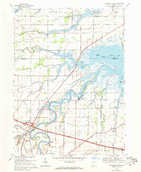
1969 Map of Wightmans Grove
USGS Topo · Published 1971About this map
Wightmans Grove sits at a prominent bend in the Sandusky River, marking a landscape where the river system meets the expansive waters of Muddy Creek Bay. This late-1960s environment is defined by its complex hydrology, where Muddy Creek and the Little Portage River converge toward the Lake Erie marshlands. The intersection of the Ohio Turnpike and local routes like Artz Road signals the modern transit era, yet the rural character remains through small hubs like Riley Center and the presence of the Township Sch.
Find a feature on this map
58 named features on this map. Tap any name to fly to it.
Don’t see what you’re looking for? This feature index may not catch every label — zoom into the map to look around manually.
Map Details
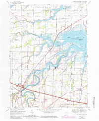
Editions of this 1969 Wightmans Grove Map
2 editions found
Other maps of this area

1900 · Oak Harbor
USGS Topo · 1:62,500

1901 · Put-In-Bay
USGS Topo · 1:62,500

1901 · Bellevue
USGS Topo · 1:62,500

1901 · Fremont
USGS Topo · 1:62,500

1903 · Bellevue
USGS Topo · 1:62,500

1903 · Fremont
USGS Topo · 1:62,500

1903 · Put In Bay
USGS Topo · 1:62,500

1952 · Oak Harbor
USGS Topo · 1:24,000

1952 · Lacarne
USGS Topo · 1:24,000

1952 · Oak Harbor
USGS Topo · 1:62,500