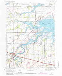
1969 Map of Wightmans Grove
USGS Topo · Published 1980About this map
The Sandusky River winds toward Muddy Creek Bay in this 1969 topographic record, documenting a landscape of intricate waterways and small Ohio settlements. Small communities like Wightmans Grove, Booktown, and Riley Center anchor the agricultural and riverine terrain. The presence of Brier Hill Cem, Foust Cem, and the Township Sch provides essential detail for genealogists tracing family locations in Riley and Rice townships.
Find a feature on this map
48 named features on this map. Tap any name to fly to it.
Don’t see what you’re looking for? This feature index may not catch every label — zoom into the map to look around manually.
Map Details
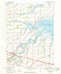
Editions of this 1969 Wightmans Grove Map
2 editions found
Other maps of this area

1900 · Oak Harbor
USGS Topo · 1:62,500

1901 · Put-In-Bay
USGS Topo · 1:62,500

1901 · Bellevue
USGS Topo · 1:62,500

1901 · Fremont
USGS Topo · 1:62,500

1903 · Bellevue
USGS Topo · 1:62,500

1903 · Fremont
USGS Topo · 1:62,500

1903 · Put In Bay
USGS Topo · 1:62,500

1952 · Oak Harbor
USGS Topo · 1:24,000

1952 · Lacarne
USGS Topo · 1:24,000

1952 · Oak Harbor
USGS Topo · 1:62,500