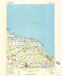
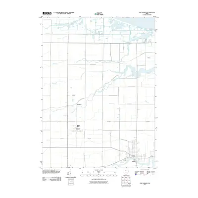
1952 Map of Oak Harbor
USGS Topo · Published 1960About this map
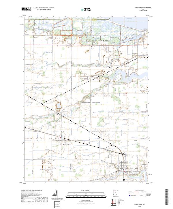
Oak Harbor serves as the focal point for this mid-century survey of the Lake Erie shoreline, where the Portage River winds through the southern reaches of the quadrangle. The map reveals a landscape defined by coastal wetlands and military presence, notably at the Erie Ordnance Depot and the expansive Camp Perry. These installations sit adjacent to the protected waters of Magee Marsh State Reservation, illustrating the juxtaposition of defense and conservation along the lake's edge.
Find a feature on this map
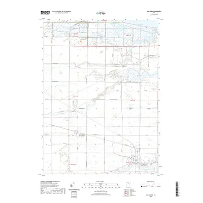
49 named features on this map. Tap any name to fly to it.
Don’t see what you’re looking for? This feature index may not catch every label — zoom into the map to look around manually.
Map Details
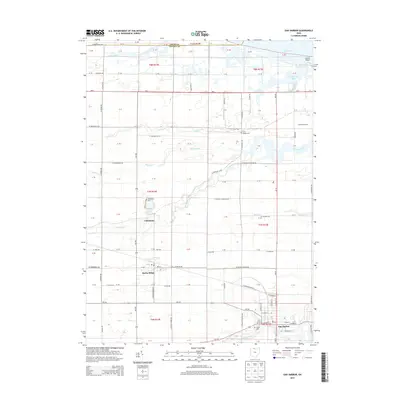
Editions of this 1952 Oak Harbor Map
This is the sole edition of this map. No revisions or reprints were ever made.
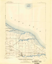
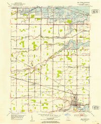
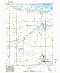
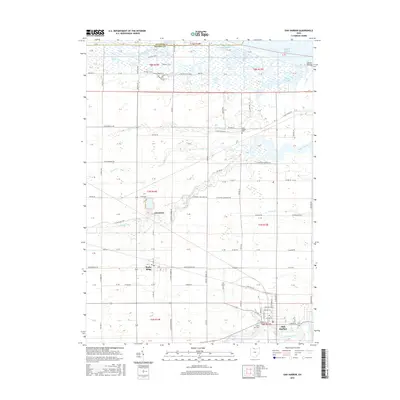
Historical Maps of Oak Harbor Through Time
9 maps found
Featured Locations
- Harris Township, OH
- Put-in-Bay Township, OH
- Limestone, Benton Township
- Rocky Ridge, Benton Township
- Oak Harbor, Salem Township