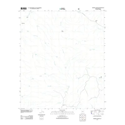
2012 Map of Wilbur Canyon
USGS Topo · Published 2012About this map
Puertocito sits at the western edge of this desert landscape, where the drainage of Puertocito Wash and San Luis Wash carve through the arid terrain. The map reveals a land defined by water management and ranching, evidenced by the numerous catchment points like McKay Tank, Choffo Tank, and Castle Rock Tank. These features, alongside Lopez Ranch and Canoa Ranch, indicate a long-standing reliance on the ephemeral flows of the southern Arizona borderlands.
Find a feature on this map
34 named features on this map. Tap any name to fly to it.
Don’t see what you’re looking for? This feature index may not catch every label — zoom into the map to look around manually.
Map Details
Editions of this 2012 Wilbur Canyon Map
This is the sole edition of this map. No revisions or reprints were ever made.
Other maps of this area

1920 · Arivaca
USGS Topo · 1:125,000

1921 · Old Glory
USGS Topo · 1:125,000

1941 · Presumido Peak
USGS Topo · 1:62,500

1941 · Arivaca
USGS Topo · 1:62,500

1942 · Oro Blanco
USGS Topo · 1:62,500

1943 · Fresnal
USGS Topo · 1:125,000

1943 · Arivaca
USGS Topo · 1:62,500

1943 · Old Glory
USGS Topo · 1:125,000

1943 · Presumido Peak
USGS Topo · 1:62,500

1944 · Oro Blanco
USGS Topo · 1:62,500