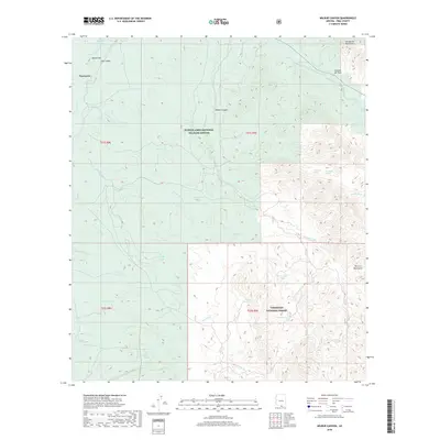
2018 Map of Wilbur Canyon
USGS Topo · Published 2018About this map
Buenos Aires National Wildlife Refuge and the Coronado National Forest converge in this high-desert portion of Pima County, where the southern reaches of the Altar Valley meet rising mountain slopes. The small settlement of Puertocito sits near the head of the Puertocito Wash, a central drainage for the area's intricate system of seasonal watercourses. The landscape is defined by its water management history, evidenced by numerous named tanks such as McKay Tank, State Tank, and Old Forester Tank that support livestock and wildlife in this arid environment.
Find a feature on this map
40 named features on this map. Tap any name to fly to it.
Don’t see what you’re looking for? This feature index may not catch every label — zoom into the map to look around manually.
Map Details
Editions of this 2018 Wilbur Canyon Map
This is the sole edition of this map. No revisions or reprints were ever made.
Other maps of this area

1920 · Arivaca
USGS Topo · 1:125,000

1921 · Old Glory
USGS Topo · 1:125,000

1941 · Presumido Peak
USGS Topo · 1:62,500

1941 · Arivaca
USGS Topo · 1:62,500

1942 · Oro Blanco
USGS Topo · 1:62,500

1943 · Fresnal
USGS Topo · 1:125,000

1943 · Arivaca
USGS Topo · 1:62,500

1943 · Old Glory
USGS Topo · 1:125,000

1943 · Presumido Peak
USGS Topo · 1:62,500

1944 · Oro Blanco
USGS Topo · 1:62,500