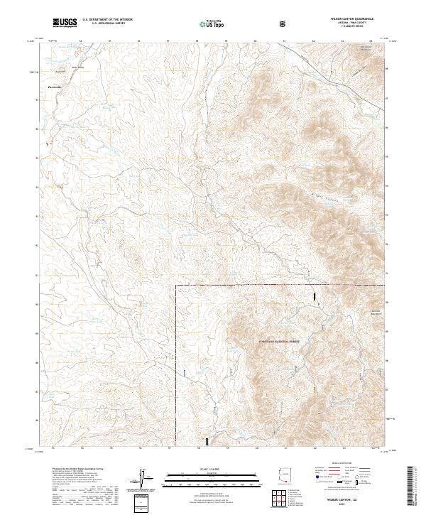
2021 Map of Wilbur Canyon
USGS Topo · Published 2021About this map
Altar Valley defines the western landscape of this Pima County quadrangle, where the tiny settlement of Puertocito sits at the edge of a vast network of desert washes and drainage tanks. The map documents a critical conservation boundary where the Buenos Aires National Wildlife Refuge meets the Coronado National Forest, illustrating the managed transition between the valley floor and the rising slopes of the Las Guijas Mountains and San Luis Mountains.
Find a feature on this map
41 named features on this map. Tap any name to fly to it.
Don’t see what you’re looking for? This feature index may not catch every label — zoom into the map to look around manually.
Map Details
Editions of this 2021 Wilbur Canyon Map
This is the sole edition of this map. No revisions or reprints were ever made.
Other maps of this area

1920 · Arivaca
USGS Topo · 1:125,000

1921 · Old Glory
USGS Topo · 1:125,000

1941 · Presumido Peak
USGS Topo · 1:62,500

1941 · Arivaca
USGS Topo · 1:62,500

1942 · Oro Blanco
USGS Topo · 1:62,500

1943 · Fresnal
USGS Topo · 1:125,000

1943 · Arivaca
USGS Topo · 1:62,500

1943 · Old Glory
USGS Topo · 1:125,000

1943 · Presumido Peak
USGS Topo · 1:62,500

1944 · Oro Blanco
USGS Topo · 1:62,500