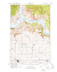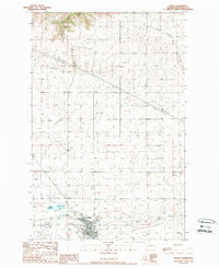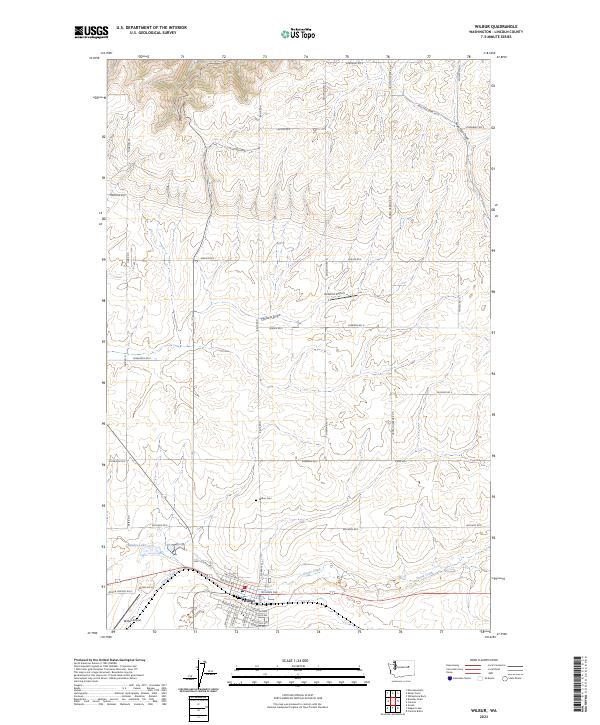
2023 Map of Wilbur
USGS Topo · Published 2023About this map
Wilbur serves as the primary hub in this Lincoln County landscape, situated at the junction of several critical drainage systems and transportation routes. The town is anchored by its residential grid, featuring thoroughfares such as NE Main Avenue and NW Cole Avenue, and is supported by infrastructure like the Wilbur Airport and the local Wilbur Cemetery. To the north, the terrain is defined by dramatic erosion patterns including Sage Hen Draw and Corbett Draw, which channel toward the basin. Agricultural and rural interests are evident in the named road network, including Hansen Harbor Road and Gollehon Road, the latter of which leads toward the Gollehon Airport. Water features like Bandys Lake and the winding course of Goose Creek illustrate the natural hydrology that dictates the region's development and land use patterns.
Find a feature on this map
50 named features on this map. Tap any name to fly to it.
Don’t see what you’re looking for? This feature index may not catch every label — zoom into the map to look around manually.
Map Details
Editions of this 2023 Wilbur Map
This is the sole edition of this map. No revisions or reprints were ever made.
Historical Maps of Lincoln County Through Time
4 maps found