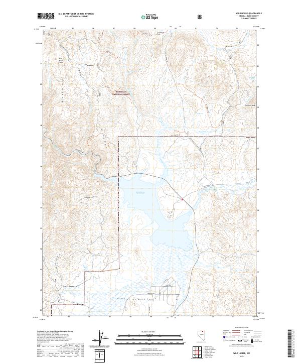
2021 Map of Wild Horse
USGS Topo · Published 2021About this map
Wild Horse Reservoir dominates the center of this high-elevation landscape, where the waters of the Owyhee River are gathered north of the Valley of the North Fork. The terrain transitions from the open waters and marshes of the reservoir to the high ridgelines of the Wild Horse Range and Meadow Creek Ridge. Portions of the Humboldt National Forest extend across the northern reaches of the map, encompassing the remote Lost Meadows and the heights of Poorman Peak.
Find a feature on this map
51 named features on this map. Tap any name to fly to it.
Don’t see what you’re looking for? This feature index may not catch every label — zoom into the map to look around manually.
Map Details
Editions of this 2021 Wild Horse Map
This is the sole edition of this map. No revisions or reprints were ever made.
Other maps of this area

1935 · Charleston
USGS Topo · 1:48,000

1936 · Mountain City
USGS Topo · 1:62,500

1936 · Rowland
USGS Topo · 1:48,000

1940 · Rowland
USGS Topo · 1:62,500

1940 · Mountain City
USGS Topo · 1:62,500

1942 · Mt. Velma
USGS Topo · 1:62,500

1955 · Wells
USGS Topo · 1:250,000

1956 · Wild Horse
USGS Topo · 1:62,500

1958 · Wells
USGS Topo · 1:250,000

1961 · Wells
USGS Topo · 1:250,000