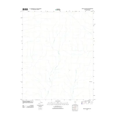
2012 Map of Wildcat Wash NE
USGS Topo · Published 2012About this map
Wildcat Wash and Farrier Wash define the drainage patterns across this arid portion of Lincoln County, where seasonal water flow has carved distinct channels through the desert floor. The landscape is dominated by these dry washes as they descend from higher ground, eventually moving toward the southeast corner of the map. To the east, the Bunker Hills rise as a prominent topographic feature, providing a structural anchor to the otherwise fluid drainage network. This 2012 survey by the U.S. Geological Survey illustrates a sparsely populated region of Nevada where the natural geography remains the primary influence on the terrain, largely untouched by major infrastructure or settlement at this time.
Find a feature on this map
3 named features on this map. Tap any name to fly to it.
Don’t see what you’re looking for? This feature index may not catch every label — zoom into the map to look around manually.
Map Details
Editions of this 2012 Wildcat Wash NE Map
This is the sole edition of this map. No revisions or reprints were ever made.
Other maps of this area

1885 · Pioche
USGS Topo · 1:250,000

1886 · Saint Thomas
USGS Topo · 1:250,000

1886 · Pioche
USGS Topo · 1:250,000

1893 · Saint Thomas
USGS Topo · 1:250,000

1954 · Caliente
USGS Topo · 1:250,000

1954 · Las Vegas
USGS Topo · 1:250,000

1957 · Las Vegas
USGS Topo · 1:250,000

1959 · Caliente
USGS Topo · 1:250,000

1959 · Las Vegas
USGS Topo · 1:250,000

1962 · Las Vegas
USGS Topo · 1:250,000