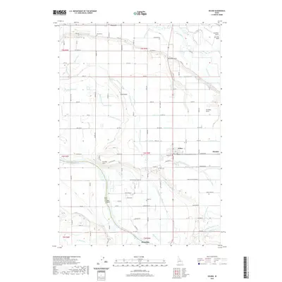
2023 Map of Wilder
USGS Topo · Published 2023About this map
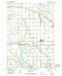
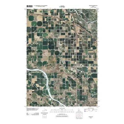
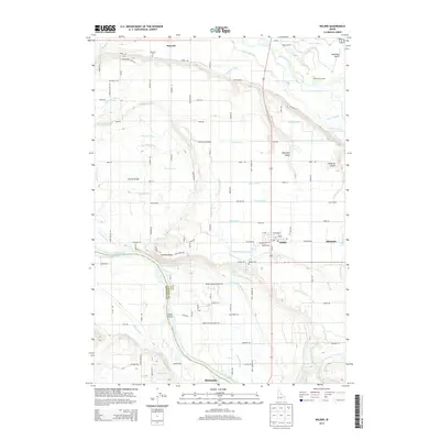
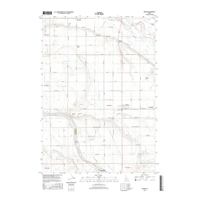
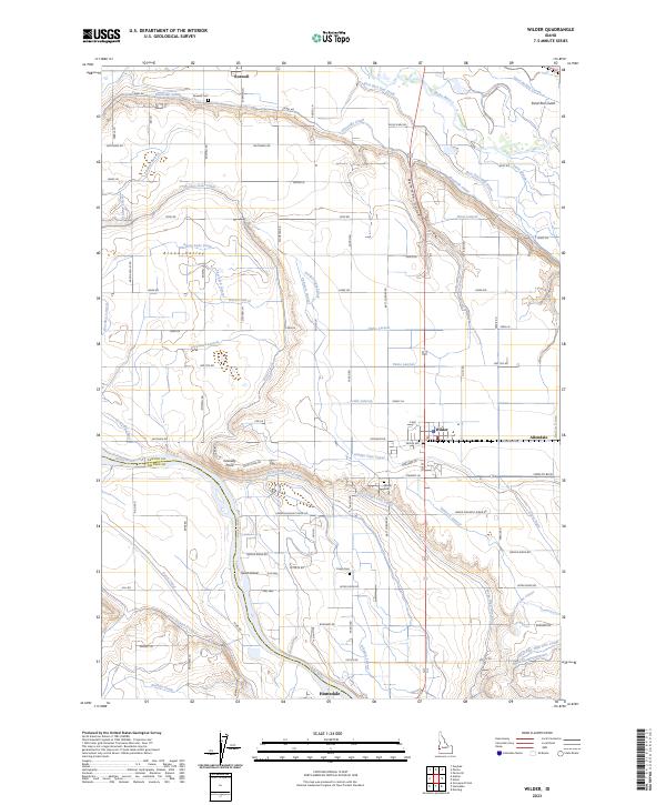
The Snake River and Boise River converge in this agricultural landscape near the Idaho-Oregon border, defining a region where water management is the primary driver of development. The intricate network of irrigation, featuring the Riverside Canal, Golden Gate Canal, and the Fargo High Line Canal, illustrates the engineering required to transform Arena Valley into productive farmland. The town of Wilder serves as a central hub, flanked by smaller communities like Roswell and Allendale, while the southern reaches of the map show the beginning of Homedale. Genealogists and local historians can locate several burial grounds, including Roswell Cem, Wilder Cem, and Fargo Cem. The western edge is dominated by the Deer Flat National Wildlife Refuge at Goat Island, preserving a stretch of riparian habitat amidst the extensive grid of rural roads and laterals that crisscross the valley.
Find a feature on this map
102 named features on this map. Tap any name to fly to it.
Don’t see what you’re looking for? This feature index may not catch every label — zoom into the map to look around manually.
Map Details
Editions of this 2023 Wilder Map
This is the sole edition of this map. No revisions or reprints were ever made.
Historical Maps of Homedale Through Time
6 maps found