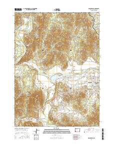
2017 Map of Wilderville
USGS Topo · Published 2017About this map
Wilderville and the surrounding valley along the Applegate River are defined by a complex network of waterways and early-settlement landmarks. Genealogists can locate several burial grounds in the area, including Wilderville Cem, Sloan Cem, and Ferrydale Cem. The landscape transitions from the river flats of Jerome Prairie toward the more varied terrain of The Canyon and Sloan Mtn.
Find a feature on this map
157 named features on this map. Tap any name to fly to it.
Don’t see what you’re looking for? This feature index may not catch every label — zoom into the map to look around manually.
Map Details
Editions of this 2017 Wilderville Map
This is the sole edition of this map. No revisions or reprints were ever made.
Other maps of this area

1904 · Riddle
USGS Topo · 1:125,000

1908 · Grants Pass
USGS Topo · 1:125,000

1917 · Kerby
USGS Topo · 1:125,000

1918 · Kerby
USGS Topo · 1:125,000

1945 · Kerby
USGS Topo · 1:125,000

1946 · Galice
USGS Topo · 1:62,500

1948 · Galice
USGS Topo · 1:62,500

1954 · Glendale
USGS Topo · 1:62,500

1954 · Selma
USGS Topo · 1:62,500

1954 · Grants Pass
USGS Topo · 1:62,500