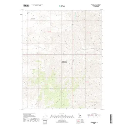
2018 Map of Wildrose Peak
USGS Topo · Published 2018About this map
Wildrose Peak and the surrounding high-elevation terrain of Death Valley National Park dominate this 2018 survey of the Panamint Range. The map details the transition from the northern Mojave Desert into a network of steep drainage systems, including the complex branchings of Upper Trail Canyon and the South Fork Trail Canyon. Notable for its historical connections to early 20th-century mining, the settlement of Harrisburg is situated near the northern edge among the Harrisburg Flats.
Find a feature on this map
20 named features on this map. Tap any name to fly to it.
Don’t see what you’re looking for? This feature index may not catch every label — zoom into the map to look around manually.
Map Details
Editions of this 2018 Wildrose Peak Map
This is the sole edition of this map. No revisions or reprints were ever made.
Other maps of this area

1908 · Furnace Creek
USGS Topo · 1:250,000

1908 · Ballarat
USGS Topo · 1:250,000

1910 · Furnace Creek
USGS Topo · 1:250,000

1913 · Ballarat
USGS Topo · 1:250,000

1948 · Death Valley
USGS Topo · 1:250,000

1952 · Furnace Creek
USGS Topo · 1:62,500

1952 · Bennetts Well
USGS Topo · 1:62,500

1952 · Telescope Peak
USGS Topo · 1:62,500

1952 · Emigrant Canyon
USGS Topo · 1:62,500

1954 · Death Valley
USGS Topo · 1:250,000