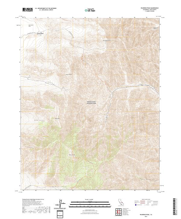
2021 Map of Wildrose Peak
USGS Topo · Published 2021About this map
Harrisburg and the surrounding high-desert terrain dominate this 2021 study of the Panamint Range within Death Valley National Park. The settlement of Harrisburg sits near the northern boundary of the map, adjacent to the broad Harrisburg Flats. This high-altitude landscape is defined by its series of deep canyons and prominent summits, including Wildrose Peak and Bald Peak.
Find a feature on this map
23 named features on this map. Tap any name to fly to it.
Don’t see what you’re looking for? This feature index may not catch every label — zoom into the map to look around manually.
Map Details
Editions of this 2021 Wildrose Peak Map
This is the sole edition of this map. No revisions or reprints were ever made.
Other maps of this area

1908 · Furnace Creek
USGS Topo · 1:250,000

1908 · Ballarat
USGS Topo · 1:250,000

1910 · Furnace Creek
USGS Topo · 1:250,000

1913 · Ballarat
USGS Topo · 1:250,000

1948 · Death Valley
USGS Topo · 1:250,000

1952 · Furnace Creek
USGS Topo · 1:62,500

1952 · Bennetts Well
USGS Topo · 1:62,500

1952 · Telescope Peak
USGS Topo · 1:62,500

1952 · Emigrant Canyon
USGS Topo · 1:62,500

1954 · Death Valley
USGS Topo · 1:250,000