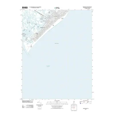
2011 Map of Wildwood
USGS Topo · Published 2011About this map
Wildwood and its neighboring beach communities are meticulously documented in this modern survey of the New Jersey shoreline. The grid-like street layout of Wildwood Crest and Wildwood Gables transitions into the coastal wetlands and maritime landscapes of Jarvis Sound and the Intercoastal Waterway. This area demonstrates a clear division between the densely developed tourist hubs and the preserved natural features of the coast, such as the numerous marshes including Mud Island, Shaw Island, and Ephraim Island.
Find a feature on this map
125 named features on this map. Tap any name to fly to it.
Don’t see what you’re looking for? This feature index may not catch every label — zoom into the map to look around manually.
Map Details
Editions of this 2011 Wildwood Map
This is the sole edition of this map. No revisions or reprints were ever made.
Other maps of this area

1884 · Sea Isle
USGS Topo · 1:62,500

1888 · Cape May
USGS Topo · 1:62,500

1888 · Dennisville
USGS Topo · 1:62,500

1888 · Sea Isle
USGS Topo · 1:62,500

1893 · Cape May
USGS Topo · 1:62,500

1894 · Dennisville
USGS Topo · 1:62,500

1894 · Sea Isle
USGS Topo · 1:62,500

1898 · Cape May
USGS Topo · 1:62,500

1918 · Cape May
USGS Topo · 1:62,500

1919 · Sea Isle
USGS Topo · 1:62,500