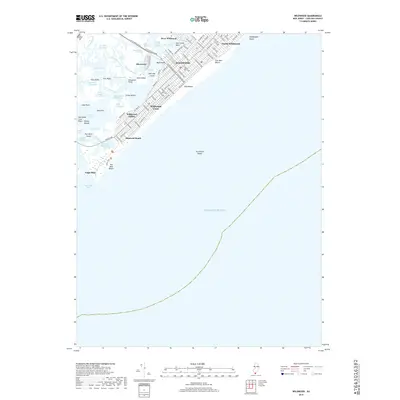
2019 Map of Wildwood
USGS Topo · Published 2019About this map
Wildwood and its sister communities occupy the barrier islands of Cape May County, defined by a dense grid of residential streets and a complex network of coastal waterways. This 2019 survey captures the highly developed character of Five Mile Beach, where the urban landscape of North Wildwood and Wildwood Crest meets the edge of the Atlantic. The intricate system of salt marshes and channels to the west, including Grassy Sound Channel and Richardson Channel, illustrates the geography that separates these resort towns from the mainland. To the south, the map details the transition from the built environment at Diamond Beach toward the preserved sands of Two Mile Beach. Notable coastal features like Turtle Gut Shoals and the Cape May Inlet highlight the shifting maritime environment that governs the southern tip of the Jersey Shore.
Find a feature on this map
93 named features on this map. Tap any name to fly to it.
Don’t see what you’re looking for? This feature index may not catch every label — zoom into the map to look around manually.
Map Details
Editions of this 2019 Wildwood Map
This is the sole edition of this map. No revisions or reprints were ever made.
Other maps of this area

1884 · Sea Isle
USGS Topo · 1:62,500

1888 · Cape May
USGS Topo · 1:62,500

1888 · Dennisville
USGS Topo · 1:62,500

1888 · Sea Isle
USGS Topo · 1:62,500

1893 · Cape May
USGS Topo · 1:62,500

1894 · Dennisville
USGS Topo · 1:62,500

1894 · Sea Isle
USGS Topo · 1:62,500

1898 · Cape May
USGS Topo · 1:62,500

1918 · Cape May
USGS Topo · 1:62,500

1919 · Sea Isle
USGS Topo · 1:62,500