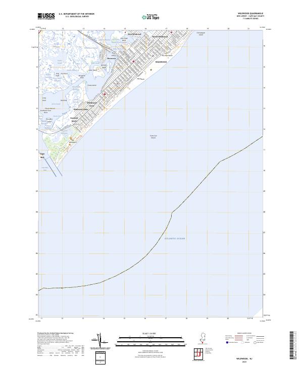
2023 Map of Wildwood
USGS Topo · Published 2023About this map
Wildwood and its neighboring beach communities occupy a slender barrier island complex, defined by a dense grid of streets and a coastline shaped by the Atlantic. The island's geography is deeply intertwined with the Intracoastal Waterway, which separates the developed shores of Wildwood Crest and North Wildwood from the intricate network of salt marshes and channels to the west. Features like Taylor Sound and Jarvis Sound dominate the western landscape, while the developed eastern edge fronts onto Mile Beach and Five Mile Beach.
Find a feature on this map
122 named features on this map. Tap any name to fly to it.
Don’t see what you’re looking for? This feature index may not catch every label — zoom into the map to look around manually.
Map Details
Editions of this 2023 Wildwood Map
This is the sole edition of this map. No revisions or reprints were ever made.
Other maps of this area

1884 · Sea Isle
USGS Topo · 1:62,500

1888 · Cape May
USGS Topo · 1:62,500

1888 · Dennisville
USGS Topo · 1:62,500

1888 · Sea Isle
USGS Topo · 1:62,500

1893 · Cape May
USGS Topo · 1:62,500

1894 · Dennisville
USGS Topo · 1:62,500

1894 · Sea Isle
USGS Topo · 1:62,500

1898 · Cape May
USGS Topo · 1:62,500

1918 · Cape May
USGS Topo · 1:62,500

1919 · Sea Isle
USGS Topo · 1:62,500