Loading...
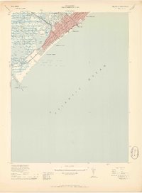
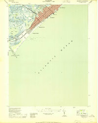
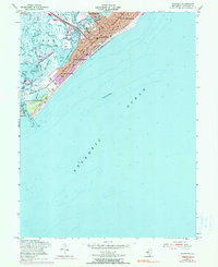
Loading map...1944 Map of Wildwood
USGS Topo · Published 1950About this map
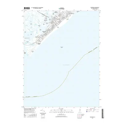
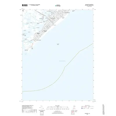
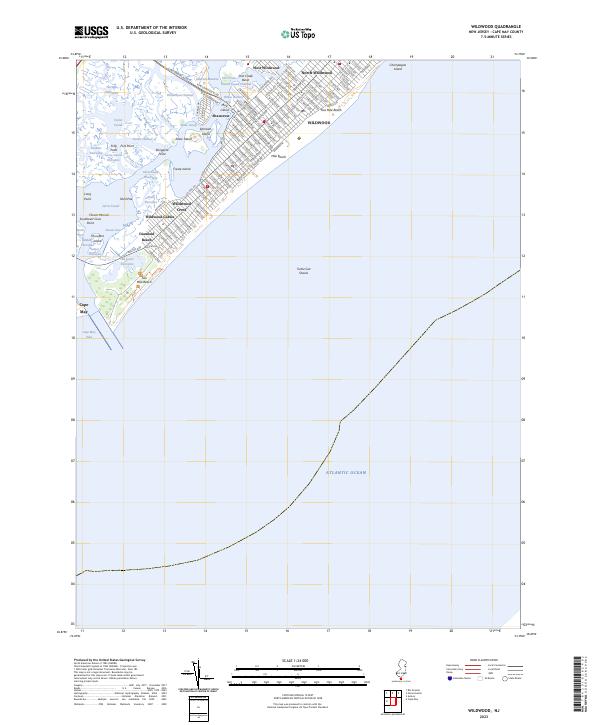
Wildwood and its neighboring beach communities occupy the narrow barrier islands of Five Mile Beach and Two Mile Beach during the mid-1940s. The urban grid of North Wildwood, Wildwood, and Wildwood Crest is shown in meticulous detail, contrasting sharply with the marshy, creek-carved interior of Taylor Sound and Jarvis Sound. The presence of the Pennsylvania-Reading Seashore Lines reaching across the back bays via the West Wildwood drawbridge highlights the era's reliance on rail for coastal access.
Find a feature on this map
50 named features on this map. Tap any name to fly to it.
Don’t see what you’re looking for? This feature index may not catch every label — zoom into the map to look around manually.
Map Details
Date Portrayed1944
Date Published1950
PublisherU.S. Geological Survey
Map TypeTopographic
Scale1:24,000
Physical Dimensions21.5 x 29.23 inches
Editions of this 1944 Wildwood Map
2 editions found
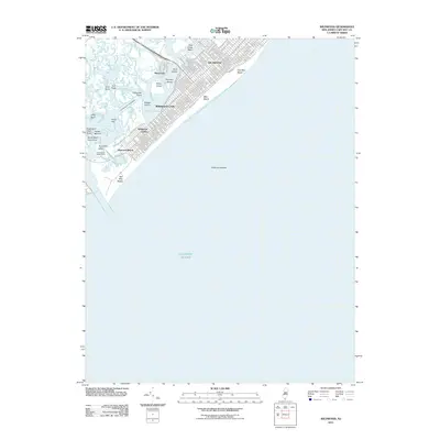
Historical Maps of Lower Township Through Time
7 maps found

Featured Locations
Source Details
SourceU.S. Geological Survey
CopyrightPublic Domain