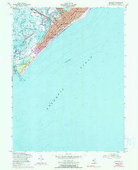
1955 Map of Wildwood
USGS Topo · Published 1990About this map
Wildwood and its neighboring barrier island communities are depicted during a period of significant mid-century development. The map details the transition from the dense urban grid of North Wildwood and Wildwood Crest to the expansive wetlands of the back bays. This environment is defined by the Intracoastal Waterway and a complex network of sounds, including Richardson Sound and Jarvis Sound. The transportation infrastructure of the era is prominent, featuring the Pennsylvania-Reading Seashore Lines providing rail access to the shore, while the iconic Boardwalk lines the Atlantic Ocean front.
Find a feature on this map
53 named features on this map. Tap any name to fly to it.
Don’t see what you’re looking for? This feature index may not catch every label — zoom into the map to look around manually.
Map Details
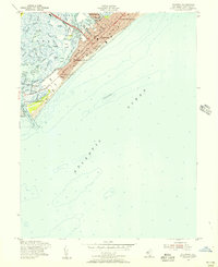
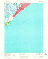
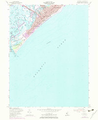
Editions of this 1955 Wildwood Map
4 editions found
Other maps of this area

1884 · Sea Isle
USGS Topo · 1:62,500

1888 · Cape May
USGS Topo · 1:62,500

1888 · Dennisville
USGS Topo · 1:62,500

1888 · Sea Isle
USGS Topo · 1:62,500

1893 · Cape May
USGS Topo · 1:62,500

1894 · Dennisville
USGS Topo · 1:62,500

1894 · Sea Isle
USGS Topo · 1:62,500

1898 · Cape May
USGS Topo · 1:62,500

1918 · Cape May
USGS Topo · 1:62,500

1919 · Sea Isle
USGS Topo · 1:62,500