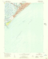
1955 Map of Wildwood
USGS Topo · Published 1956About this map
Wildwood and its neighboring barrier island communities appear here in a period of mid-century coastal development, defined by the grid-iron streets of North Wildwood, Wildwood Crest, and the more secluded West Wildwood. This mid-1950s geography shows the significant presence of the Pennsylvania-Reading Seashore Lines entering the island, a crucial transportation link that sustained the area as a major summer destination. The famous Boardwalk stretches along the oceanfront, while the Intracoastal Waterway winds through the intricate salt marshes and sounds behind Five Mile Beach, including Richardson Sound and Jarvis Sound. The southern end of the sheet is dominated by the U.S. Coast Guard Reservation near the Cape May Inlet, illustrating the strategic maritime importance of this New Jersey shoreline. Between the ocean and the mainland, the map reveals a complex ecosystem of tidal channels such as Swain Channel and named island sedges like Ephraim Island and Stites Sedge.
Find a feature on this map
56 named features on this map. Tap any name to fly to it.
Don’t see what you’re looking for? This feature index may not catch every label — zoom into the map to look around manually.
Map Details
Editions of this 1955 Wildwood Map
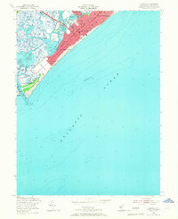
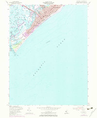
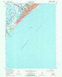
4 editions found
Other maps of this area

1884 · Sea Isle
USGS Topo · 1:62,500

1888 · Cape May
USGS Topo · 1:62,500

1888 · Dennisville
USGS Topo · 1:62,500

1888 · Sea Isle
USGS Topo · 1:62,500

1893 · Cape May
USGS Topo · 1:62,500

1894 · Dennisville
USGS Topo · 1:62,500

1894 · Sea Isle
USGS Topo · 1:62,500

1898 · Cape May
USGS Topo · 1:62,500

1918 · Cape May
USGS Topo · 1:62,500

1919 · Sea Isle
USGS Topo · 1:62,500