
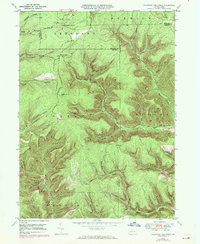
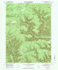
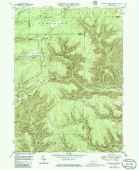
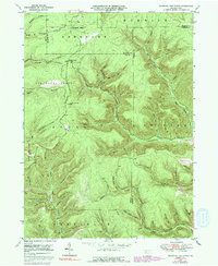
1948 Map of Wildwood Fire Tower
USGS Topo · Published 1958About this map
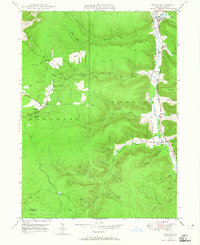
The northern forest of Elk County, along the border with McKean and Cameron counties, is defined by a dense network of mountain streams and hollows recorded shortly after the Second World War. Wellendorf Station stands as a focal point for the Wellendorf Branch, part of a drainage system that includes Straight Creek and the Driftwood Branch. The landscape's topography is revealed through a series of named hollows, including the curiously named Naval Hollow and Devils Hole, alongside family-named features like Lockwood Hol and Bitzman Hol.
Find a feature on this map
43 named features on this map. Tap any name to fly to it.
Don’t see what you’re looking for? This feature index may not catch every label — zoom into the map to look around manually.
Map Details
Editions of this 1948 Wildwood Fire Tower Map
5 editions found
Other maps of this area

1935 · Mt. Jewett
USGS Topo · 1:48,000

1940 · Mt. Jewett
USGS Topo · 1:62,500

1941 · Benezette
USGS Topo · 1:62,500

1941 · Ridgway
USGS Topo · 1:62,500

1943 · Benezette
USGS Topo · 1:62,500

1944 · Ridgway
USGS Topo · 1:62,500

1948 · Crosby
USGS Topo · 1:62,500

1948 · Rich Valley
USGS Topo · 1:24,000

1948 · Norwich
USGS Topo · 1:24,000
1948 · Crosby
USGS Topo · 1:24,000