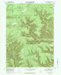
1948 Map of Wildwood Fire Tower
USGS Topo · Published 1984About this map
Wellendorf Station sits at the northern edge of this Pennsylvania high-country landscape, where Elk, McKean, and Cameron counties converge. Photorevised in the early 1970s based on data from 1948, the topography is defined by a dense network of runs and hollows that feed into larger drainages like Sinnemahoning Creek and Straight Creek. The map documents a rugged landscape primarily organized around forestry and resource extraction, punctuated by features such as the Wildwood Fire Tower and a large Pipeline corridor crossing the terrain.
Find a feature on this map
49 named features on this map. Tap any name to fly to it.
Don’t see what you’re looking for? This feature index may not catch every label — zoom into the map to look around manually.
Map Details
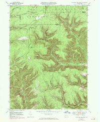
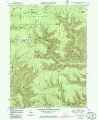
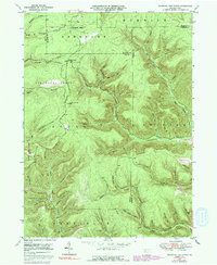
Editions of this 1948 Wildwood Fire Tower Map
5 editions found
Other maps of this area

1935 · Mt. Jewett
USGS Topo · 1:48,000

1940 · Mt. Jewett
USGS Topo · 1:62,500

1941 · Benezette
USGS Topo · 1:62,500

1941 · Ridgway
USGS Topo · 1:62,500

1943 · Benezette
USGS Topo · 1:62,500

1944 · Ridgway
USGS Topo · 1:62,500

1948 · Crosby
USGS Topo · 1:62,500

1948 · Wildwood Fire Tower
USGS Topo · 1:24,000

1948 · Rich Valley
USGS Topo · 1:24,000

1948 · Norwich
USGS Topo · 1:24,000