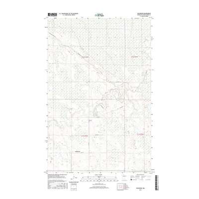
2016 Map of Wildwood
USGS Topo · Published 2016About this map
Wildwood is a small settlement in Koochiching County, defined by a sparse network of forest and county roads threading through the northern Minnesota landscape. The area is dominated by the winding path of Caldwell Brook, which drains the low-lying terrain. Local navigation relies on routes like the Gemmell-Ridge Forest Rd and Wildwood Rd, reflecting a landscape geared toward timber management and remote residence. For those researching local family history, the presence of the Wildwood Cem near Co Rd 27 provides a specific point of interest in this secluded region. The nomenclature of the road system, including the curious Smallpox Rd, hints at the specific local history and historical events that shaped the development and naming of these rural corridors.
Find a feature on this map
14 named features on this map. Tap any name to fly to it.
Don’t see what you’re looking for? This feature index may not catch every label — zoom into the map to look around manually.
Map Details
Editions of this 2016 Wildwood Map
This is the sole edition of this map. No revisions or reprints were ever made.
Other maps of this area

1918 · Zora
USGS Topo · 1:62,500

1919 · Zora
USGS Topo · 1:62,500

1919 · Lundgren
USGS Topo · 1:62,500

1919 · Gemmell
USGS Topo · 1:62,500

1919 · Margie
USGS Topo · 1:62,500

1954 · Bemidji
USGS Topo · 1:250,000

1954 · Hibbing
USGS Topo · 1:250,000

1954 · Roseau
USGS Topo · 1:250,000

1954 · International Falls
USGS Topo · 1:250,000

1957 · Roseau
USGS Topo · 1:250,000