2023 Map of Wileyville
USGS Topo · Published 2023About this map
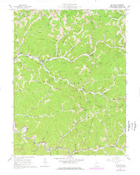
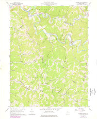
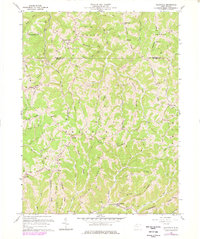
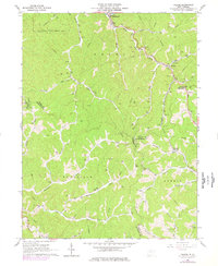
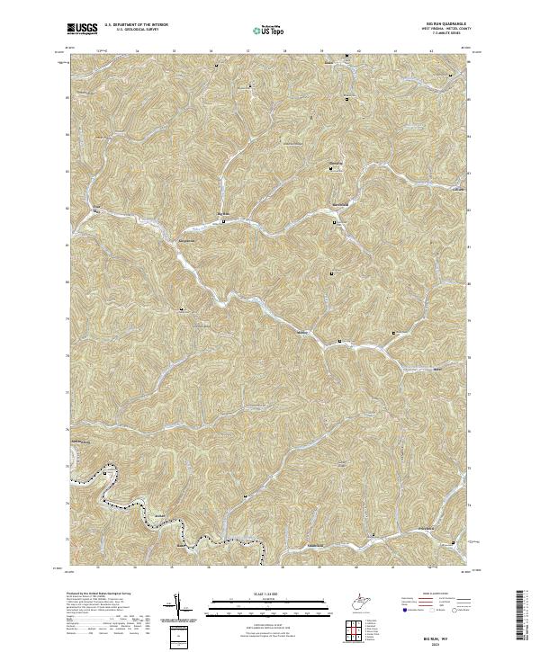
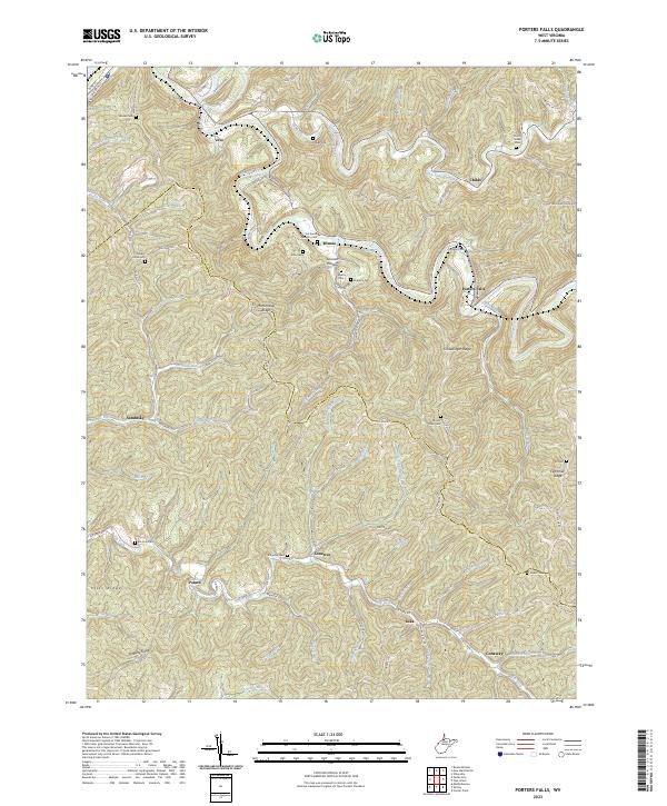
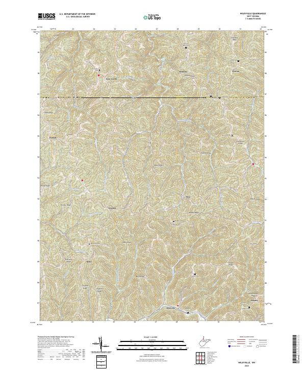
Wileyville and the winding valley of Little Fishing Creek anchor this survey of the high, ridged interior of Wetzel County. The landscape is defined by its dramatic topographic relief, where narrow ridgetops like Greenfield Ridge, Hollman Ridge, and Brock Ridge separate deeply incised stream valleys. Small settlements and isolated post offices are scattered throughout the hills, including Saint Joseph, Newdale, and Millsboro. Many of these communities are historically centered around family-named landmarks and local burial grounds such as Saint Josephs Cem, Yoho Cem, and Kirkland Cem. The network of county roads, including Co RD 89 and Newman Ridge Rd, follows the difficult terrain, tracing the spines of the ridges or the narrow banks of waterways like Lynn Camp Run and Proctor Creek. This map reveals a late-twentieth-century rural infrastructure where geographic isolation preserved numerous small, named crossroads and family cemeteries.
Find a feature on this map
97 named features on this map. Tap any name to fly to it.
Don’t see what you’re looking for? This feature index may not catch every label — zoom into the map to look around manually.
Map Details
Editions of this 2023 Wileyville Map
This is the sole edition of this map. No revisions or reprints were ever made.
Historical Maps of Dulaney Through Time
9 maps found