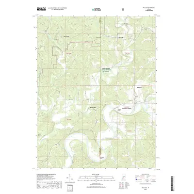
2019 Map of Williams
USGS Topo · Published 2019About this map
The East Fork White River winds through the heart of this Lawrence County landscape, defining the character of small settlements like Williams and Mount Olive. The river's path is marked by distinctive topographical features such as Henshaw Bend and the landmark Williams Bridge. To the north, the terrain transitions into the upland communities of Silverville and the protected lands of the Hoosier National Forest.
Find a feature on this map
75 named features on this map. Tap any name to fly to it.
Don’t see what you’re looking for? This feature index may not catch every label — zoom into the map to look around manually.
Map Details
Editions of this 2019 Williams Map
This is the sole edition of this map. No revisions or reprints were ever made.
Other maps of this area

1935 · Oolitic
USGS Topo · 1:48,000

1942 · Oolitic
USGS Topo · 1:62,500

1948 · Huron
USGS Topo · 1:24,000

1949 · Georgia
USGS Topo · 1:24,000

1950 · Huron
USGS Topo · 1:24,000

1950 · Shoals
USGS Topo · 1:24,000

1951 · Georgia
USGS Topo · 1:24,000

1956 · Koleen
USGS Topo · 1:24,000

1956 · Indian Springs
USGS Topo · 1:24,000

1956 · Vincennes
USGS Topo · 1:250,000