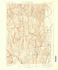
1941 Map of Williamsburg
USGS Topo · Published 1941About this map
Herman A. MacDonald served as commissioner when this survey of the northern Hampshire and southern Franklin county border was published. The industrial and transit landscape centers on the Mill River, which powers sites like Brass Mill Pond near Haydenville. The lower portion of the map is defined by the New York New Haven and Hartford RR terminating at Williamsburg Station, while the Boston and Maine RR skirts the eastern edge of Hatfield.
Find a feature on this map
75 named features on this map. Tap any name to fly to it.
Don’t see what you’re looking for? This feature index may not catch every label — zoom into the map to look around manually.
Map Details
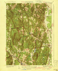
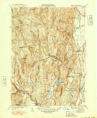
Editions of this 1941 Williamsburg Map
3 editions found
Other maps of this area

1885 · Northampton
USGS Topo · 1:62,500

1886 · Hawley
USGS Topo · 1:62,500

1886 · Chesterfield
USGS Topo · 1:62,500

1886 · Northampton
USGS Topo · 1:62,500

1888 · Chesterfield
USGS Topo · 1:62,500

1890 · Hawley
USGS Topo · 1:62,500

1890 · Greenfield
USGS Topo · 1:62,500

1891 · Northampton
USGS Topo · 1:62,500

1893 · Northampton
USGS Topo · 1:62,500

1893 · Chesterfield
USGS Topo · 1:62,500