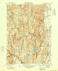
1941 Map of Williamsburg
USGS Topo · Published 1949About this map
The Mill River valley serves as the industrial and social spine of this landscape as it appeared in the late 1940s. At the southern edge of the survey, the village of Williamsburg and the neighboring settlement of Haydenville are linked by the NY NH & H RR, which terminates at the Williamsburg Sta. This rail connection supported local mills and manufacturing that drew power from the numerous water bodies, including the Brass Mill Pond and Williamsburg Reservoir.
Find a feature on this map
90 named features on this map. Tap any name to fly to it.
Don’t see what you’re looking for? This feature index may not catch every label — zoom into the map to look around manually.
Map Details
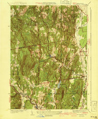
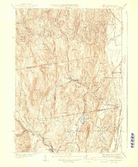
Editions of this 1941 Williamsburg Map
3 editions found
Other maps of this area

1885 · Northampton
USGS Topo · 1:62,500

1886 · Hawley
USGS Topo · 1:62,500

1886 · Chesterfield
USGS Topo · 1:62,500

1886 · Northampton
USGS Topo · 1:62,500

1888 · Chesterfield
USGS Topo · 1:62,500

1890 · Hawley
USGS Topo · 1:62,500

1890 · Greenfield
USGS Topo · 1:62,500

1891 · Northampton
USGS Topo · 1:62,500

1893 · Northampton
USGS Topo · 1:62,500

1893 · Chesterfield
USGS Topo · 1:62,500