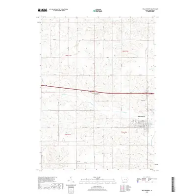
2018 Map of Williamsburg
USGS Topo · Published 2018About this map
Williamsburg serves as the primary population center on this landscape, its residential grid defined by streets like W Penn St and North St just south of the interstate corridor. The surrounding Iowa County terrain is heavily dissected by a network of drainage systems including Old Mans Creek and Hog Run, which influence the winding paths of rural routes that contrast with the rigid section lines of the township grid. For those researching local heritage, the map identifies significant sites such as the Iowa County Home Cemetery and the Pilot Grove Union Cemetery, providing precise locations for these rural burial grounds. The transition from the structured town blocks to the sprawling agricultural sections highlights a mid-western landscape where hydrology like Hilton Creek and Clear Creek dictates the utility of the land.
Find a feature on this map
33 named features on this map. Tap any name to fly to it.
Don’t see what you’re looking for? This feature index may not catch every label — zoom into the map to look around manually.
Map Details
Editions of this 2018 Williamsburg Map
This is the sole edition of this map. No revisions or reprints were ever made.
Other maps of this area

1888 · Amana
USGS Topo · 1:62,500

1889 · Amana
USGS Topo · 1:62,500

1891 · Oxford
USGS Topo · 1:62,500

1894 · Oxford
USGS Topo · 1:62,500

1899 · Amana
USGS Topo · 1:62,500

1903 · Fairfax
USGS Topo · 1:125,000

1954 · Des Moines
USGS Topo · 1:250,000

1956 · Des Moines
USGS Topo · 1:250,000

1957 · Des Moines
USGS Topo · 1:250,000

1958 · Davenport
USGS Topo · 1:250,000