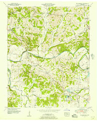
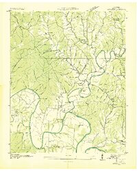
1951 Map of Williamsport
USGS Topo · Published 1956About this map
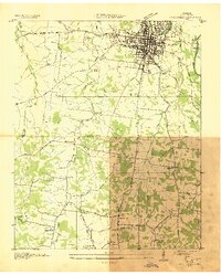
The Duck River carves a winding path through this portion of Maury County, defining a landscape of deep bends and steep bluffs such as Bratten Bluff and Cave Bluff. Settlement is concentrated around Williamsport and several smaller communities including Water Valley and Santa Fe. The presence of Cedar Hebrew School and several churches like Alexandria Ch and Mt Nebo Ch indicates a well-established social fabric in the rural highlands.
Find a feature on this map
90 named features on this map. Tap any name to fly to it.
Don’t see what you’re looking for? This feature index may not catch every label — zoom into the map to look around manually.
Map Details
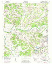
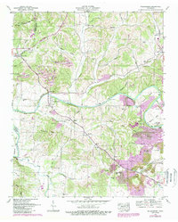
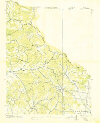
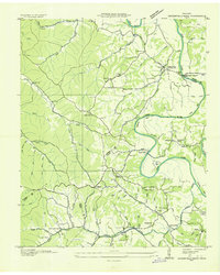
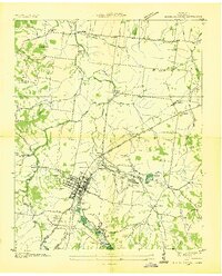
Editions of this 1951 Williamsport Map
3 editions found
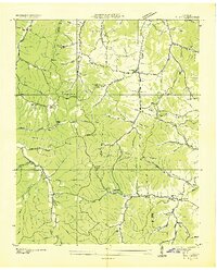
Other maps of this area

1901 · Colombia
USGS Topo · 1:125,000

1936 · Godwin
USGS Topo · 1:24,000

1936 · Williamsport
USGS Topo · 1:24,000

1936 · Primm
USGS Topo · 1:24,000
1936 · Mt Joy
USGS Topo · 1:24,000
1936 · Littlelot
USGS Topo · 1:24,000
1936 · Theta
USGS Topo · 1:24,000
1936 · Greenfield Bend
USGS Topo · 1:24,000
1936 · Mount Pleasant
USGS Topo · 1:24,000
1936 · Columbia
USGS Topo · 1:24,000