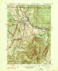
1947 Map of Williamstown
USGS Topo · Published 1947About this map
Williams College anchors the settlement of Williamstown in this mid-century portrait of the northern Berkshires. The landscape is defined by the massive rise of Mt Greylock to the south, where the War Memorial Beacon stands at the summit. Long-distance hiking routes are already established here, including the Appalachian Trail and the Long Trail, crossing through the Green Mountain National Forest near the Vermont border. The Hoosic River valley serves as the industrial and transportation corridor, carrying the Boston and Maine RR and the Mohawk Trail through Blackinton and Braytonville. Rural life persists in the outlying areas, marked by family-named locations like Thiel Farm and the distinct village centers of South Williamstown and Sweets Corner. The mapping detail captures numerous water sources like the Notch Reservoir and Mt Williams Reservoir, essential for the growing communities at the base of the mountains.
Find a feature on this map
60 named features on this map. Tap any name to fly to it.
Don’t see what you’re looking for? This feature index may not catch every label — zoom into the map to look around manually.
Map Details
Editions of this 1947 Williamstown Map
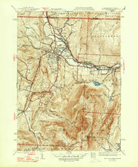
2 editions found
Other maps of this area

1886 · Greylock
USGS Topo · 1:62,500

1888 · Berlin
USGS Topo · 1:62,500

1890 · Berlin
USGS Topo · 1:62,500

1891 · Greylock
USGS Topo · 1:62,500

1893 · Greylock
USGS Topo · 1:62,500

1894 · Berlin
USGS Topo · 1:62,500

1897 · Hoosick
USGS Topo · 1:62,500

1898 · Berlin
USGS Topo · 1:62,500

1898 · Bennington
USGS Topo · 1:62,500

1898 · Greylock
USGS Topo · 1:62,500