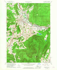
1960 Map of Williamstown
USGS Topo · Published 1968About this map
Williams College serves as the cultural anchor for this Berkshire landscape, situated where the Hoosic River meets the Green River. The 1960 revision documents the educational and recreational development of the area, featuring landmarks like the Williamstown Boys Club and Harriman Airport. The town's layout is marked by several burial grounds including Westlawn Cem and College Cem, while industrial activity is noted at the Gravel Pits north of town.
Find a feature on this map
75 named features on this map. Tap any name to fly to it.
Don’t see what you’re looking for? This feature index may not catch every label — zoom into the map to look around manually.
Map Details
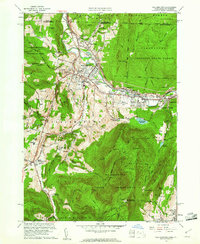
Editions of this 1960 Williamstown Map
2 editions found
Other maps of this area

1886 · Greylock
USGS Topo · 1:62,500

1888 · Berlin
USGS Topo · 1:62,500

1890 · Berlin
USGS Topo · 1:62,500

1891 · Greylock
USGS Topo · 1:62,500

1893 · Greylock
USGS Topo · 1:62,500

1894 · Berlin
USGS Topo · 1:62,500

1897 · Hoosick
USGS Topo · 1:62,500

1898 · Berlin
USGS Topo · 1:62,500

1898 · Bennington
USGS Topo · 1:62,500

1898 · Greylock
USGS Topo · 1:62,500