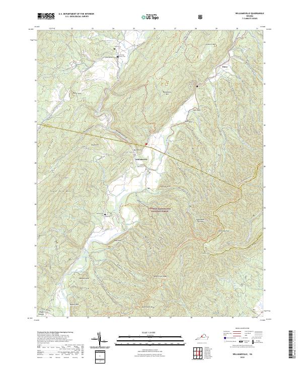
2022 Map of Williamsville
USGS Topo · Published 2022About this map
The confluence of the Bullpasture River and the Cowpasture River anchors this study of a mountainous stretch along the border of Bath and Highland Counties. In the small settlement of Williamsville, the valley floor provides a base for local life, while the surrounding landscape is defined by the steep ridges of Bullpasture Mtn and Shenandoah Mountain. This 2022 survey documents the intersection of rural heritage and wilderness within the George Washington National Forest, where family history is preserved at sites like the Lockridge Family Cem and the Wilson Cem near the northern boundary. The terrain is characterized by numerous "drafts"—deep, narrow valleys like Lick Draft and Barracks Draft—that funnel water from the highlands down to the river system. These drainage patterns influenced the placement of early routes and homes, including the community of Patna and the Laurel Gap Church of the Brethren.
Find a feature on this map
79 named features on this map. Tap any name to fly to it.
Don’t see what you’re looking for? This feature index may not catch every label — zoom into the map to look around manually.
Map Details
Editions of this 2022 Williamsville Map
This is the sole edition of this map. No revisions or reprints were ever made.
Other maps of this area

1894 · Staunton
USGS Topo · 1:125,000

1901 · Monterey
USGS Topo · 1:125,000

1924 · Mc Dowell
USGS Topo · 1:62,500

1941 · Monterey
USGS Topo · 1:62,500

1943 · Craigsville
USGS Topo · 1:62,500

1944 · Monterey
USGS Topo · 1:62,500

1944 · Mc Dowell
USGS Topo · 1:62,500

1945 · Craigsville
USGS Topo · 1:62,500

1946 · Mc Dowell
USGS Topo · 1:62,500

1946 · Williamsville
USGS Topo · 1:62,500