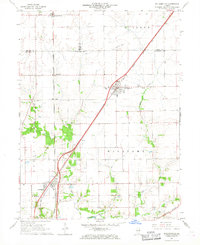
1966 Map of Williamsville
USGS Topo · Published 1967About this map
The Gulf Mobile And Ohio railroad cuts a diagonal path through this central Illinois landscape, anchoring the village of Williamsville. This 1966 field-checked survey reveals a productive agricultural region where the prairie is defined by drainage patterns of Fancy Creek and Wolf Creek. The map documents a cluster of rural institutions vital to local genealogy, including St John Ch and several family or community burial grounds such as Walnut Hill Cem, Stewart Cem, and Fancy Creek Cem. To the southwest, the village of Sherman sits at the junction of the Illinois Terminal and the main rail line, while the presence of a Radio Tower and Sewage Disposal facility near Williamsville signals mid-century infrastructural growth. The map also captures smaller named localities like Fancy Prairie, Van Wood, and Ellis, offering a precise record of the Sangamon County countryside during the mid-1960s expansion of the Illinois road network.
Find a feature on this map
30 named features on this map. Tap any name to fly to it.
Don’t see what you’re looking for? This feature index may not catch every label — zoom into the map to look around manually.
Map Details
Editions of this 1966 Williamsville Map
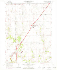
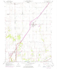
3 editions found
Other maps of this area

1907 · Springfield
USGS Topo · 1:62,500

1911 · Lincoln
USGS Topo · 1:62,500

1913 · Lincoln
USGS Topo · 1:62,500

1930 · Springfield
USGS Topo · 1:62,500

1940 · Springfield
USGS Topo · 1:62,500

1948 · Mason City
USGS Topo · 1:62,500

1949 · Mason City
USGS Topo · 1:62,500

1950 · Springfield West
USGS Topo · 1:24,000

1950 · Springfield East
USGS Topo · 1:24,000

1954 · Mechanicsburg
USGS Topo · 1:62,500