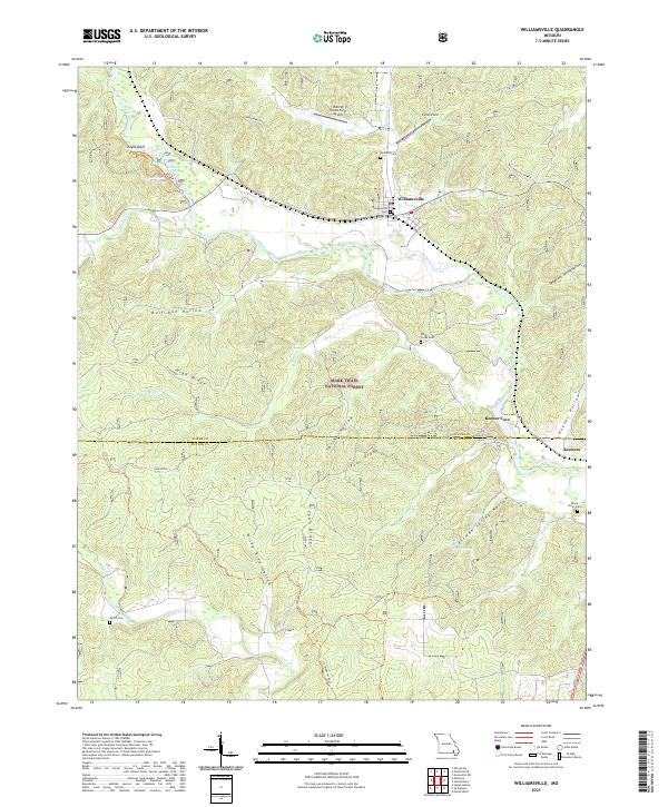
2021 Map of Williamsville
USGS Topo · Published 2021About this map
Williamsville serves as the primary settlement on this landscape where the Ozarks meet the flatlands along the Black River. The area is defined by a dense network of springs and drainage hollows, including the notable Markham Spring and Essman Spring, which feed into the winding river system. Significant portions of the terrain are protected within the Mark Twain National Forest, preserving the topography of High Ridge and Flat Ridge. For local historians and genealogists, the map identifies several distinct burial grounds such as Holliday Cem and Shiloh Cem, alongside landmarks like the Flatwoods School. The map also captures specialized sites including the Keener Cave and the Rolling Shoals Farm Airport, illustrating the mixture of natural wonder, rural education, and aviation infrastructure in this corner of Missouri.
Find a feature on this map
42 named features on this map. Tap any name to fly to it.
Don’t see what you’re looking for? This feature index may not catch every label — zoom into the map to look around manually.
Map Details
Editions of this 2021 Williamsville Map
This is the sole edition of this map. No revisions or reprints were ever made.
Other maps of this area

1932 · Piedmont
USGS Topo · 1:62,500

1934 · Greenville
USGS Topo · 1:62,500

1934 · Williamsville
USGS Topo · 1:48,000

1935 · Poplar Bluff
USGS Topo · 1:62,500

1935 · Piedmont
USGS Topo · 1:62,500

1939 · Greenville
USGS Topo · 1:62,500

1939 · Poplar Bluff
USGS Topo · 1:62,500

1940 · Williamsville
USGS Topo · 1:62,500

1949 · Rolla
USGS Topo · 1:250,000

1949 · Poplar Bluff
USGS Topo · 1:62,500