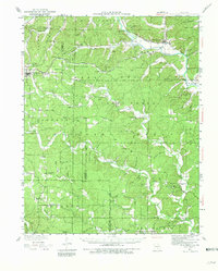
1934 Map of Williamsville
USGS Topo · Published 1981About this map
Williamsville and its surroundings in the early 1930s reveal a landscape of Ozark hollows and ridge-top settlements defined by the Black River and the corridors of the St Louis San Francisco Railroad. The map captures a high density of rural infrastructure, from the Fire Tower CCC Camp near Ellsinore to the diverse network of country schools like Hogan Hollow Sch and Pine Valley Sch. Fading industrial and agricultural footprints are visible in the Barrett Mine and the eponymous Mill Spring. Unique cultural pockets, such as the settlement of Budapest and its Budapest Ch, suggest a complex history of immigration and community building within the rugged valleys of Wayne and Carter counties. The terrain is deeply etched with family-named landmarks like Markham Spr and Essman Spr, providing a detailed record for genealogists.
Find a feature on this map
95 named features on this map. Tap any name to fly to it.
Don’t see what you’re looking for? This feature index may not catch every label — zoom into the map to look around manually.
Map Details
Editions of this 1934 Williamsville Map
4 editions found
Other maps of this area

1932 · Piedmont
USGS Topo · 1:62,500

1934 · Greenville
USGS Topo · 1:62,500

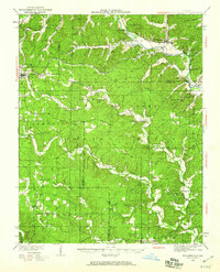
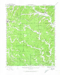
1934 · Williamsville
USGS Topo · 1:48,000

1935 · Poplar Bluff
USGS Topo · 1:62,500

1935 · Piedmont
USGS Topo · 1:62,500

1935 · Acorn
USGS Topo · 1:62,500

1935 · Harviell
USGS Topo · 1:62,500

1939 · Greenville
USGS Topo · 1:62,500

1939 · Poplar Bluff
USGS Topo · 1:62,500

1939 · Doniphan
USGS Topo · 1:62,500