Loading...
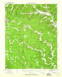
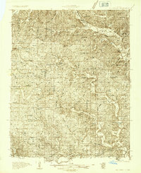
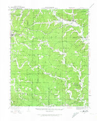
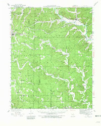
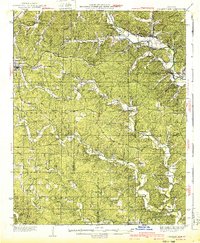
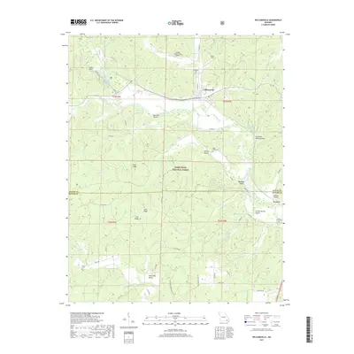
Loading map...1934 Map of Williamsville
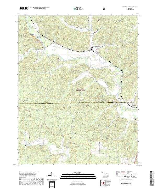
USGS Topo · Published 1960About this map
Williamsville and the winding Black River define this corner of the Ozark foothills during the early 1930s. The landscape is a patchwork of the Clark National Forest and rural settlements connected by the St Louis San Francisco railroad. This survey captures a specific era of public works and tourism, marked by the presence of a CCC Camp and the Keener Cave Resort near the Wayne and Butler County line.
Find a feature on this map
92 named features on this map. Tap any name to fly to it.
Don’t see what you’re looking for? This feature index may not catch every label — zoom into the map to look around manually.
Map Details
Date Portrayed1934
Date Published1960
PublisherU.S. Geological Survey
Map TypeTopographic
Scale1:62,500
Physical Dimensions16.8 x 20.8 inches
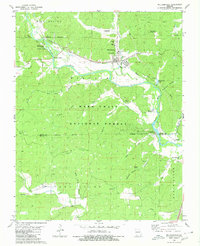
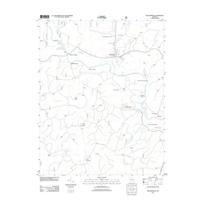
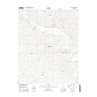
Editions of this 1934 Williamsville Map
4 editions found
Historical Maps of Williamsville Through Time
7 maps found
Featured Locations
Source Details
SourceU.S. Geological Survey
CopyrightPublic Domain