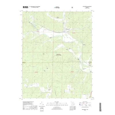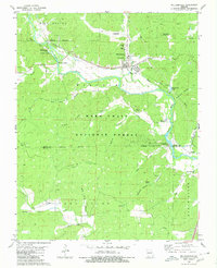
1980 Map of Williamsville
USGS Topo · Published 1980About this map
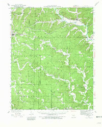
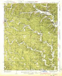
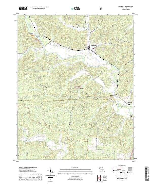
Williamsville serves as the primary hub of activity in this 1980 survey, where the Missouri Pacific railroad cuts through the Ozark landscape near the Black River. The area is characterized by a mix of river-bottom commerce and deep-forest recreation, evidenced by the Markham Spring Recreation Area and the Williamsville Lookout Tower perched on the hills north of town. Outside the main settlement, the map records numerous small family and community burial sites, including Holladay Cem, Miller Creek Cem, and Shiloh Cem. Historical transportation routes are clearly visible, with the Old Military Road and an Old Railroad Grade indicating older corridors of movement through the Mark Twain National Forest. The map also captures local industry ranging from the Barrett Mine to various gravel pits and landing strips like Skyway Ranch Landing Strip.
Find a feature on this map
52 named features on this map. Tap any name to fly to it.
Don’t see what you’re looking for? This feature index may not catch every label — zoom into the map to look around manually.
Map Details
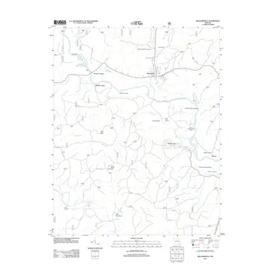
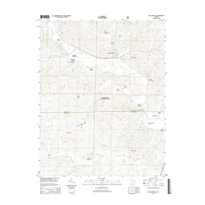
Editions of this 1980 Williamsville Map
This is the sole edition of this map. No revisions or reprints were ever made.
Historical Maps of Williamsville Through Time
7 maps found