Loading...
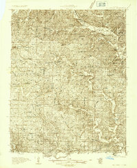
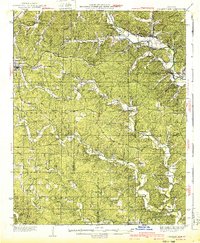
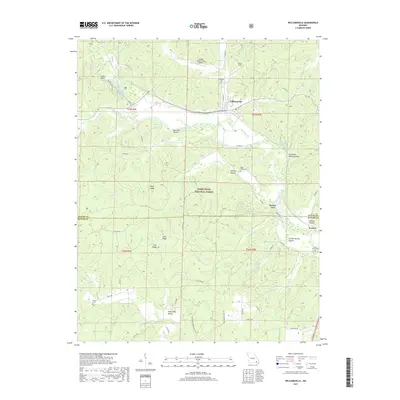
Loading map...1934 Map of Williamsville
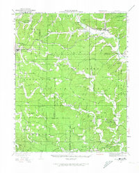
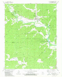
USGS Topo · Published 1973About this map
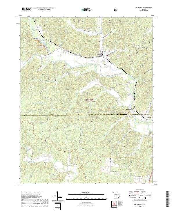
The Black River and the St Louis San Francisco railroad define this early 1930s landscape, where small Ozark settlements were deeply connected to the timber and rail economy. Williamsville serves as the primary hub at the junction of the Missouri Pacific River and the Frisco line. This era captures the region's educational and religious network, documenting numerous local schoolhouses such as Crommertown Sch and Lone Star Sch, alongside community centers like Barfoot Ch.
Find a feature on this map
109 named features on this map. Tap any name to fly to it.
Don’t see what you’re looking for? This feature index may not catch every label — zoom into the map to look around manually.
Map Details
Date Portrayed1934
Date Published1973
PublisherU.S. Geological Survey
Map TypeTopographic
Scale1:62,500
Physical Dimensions17.6 x 21.8 inches
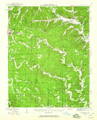
Editions of this 1934 Williamsville Map
4 editions found
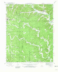
Historical Maps of Williamsville Through Time
7 maps found
Featured Locations
Source Details
SourceU.S. Geological Survey
CopyrightPublic Domain