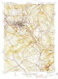
1945 Map of Willimantic
USGS Topo · Published 1945About this map
The industrial and rail hub of Willimantic anchors this mid-century portrait of eastern Connecticut, where the confluence of the Willimantic River and Natchaug River forms the headwaters of the Shetucket River. The landscape is defined by its transit corridors, featuring the crossing of the Central Vermont and New York New Haven and Hartford railroads. Outside the urban center, the terrain rises into named heights like Hosmer Mtn and Bush Hill, while the Windham Airport and State Rifle Range represent the era's infrastructure. In the southern reaches, rural life is documented through scattered educational and civic sites, including the Pleasure Hill Sch, Lebanon Sch, and several family and religious burial grounds such as Trumbull Cem and St Joseph Cem. The map captures the region before modern highway expansion, showing the original footprints of South Windham and Conantville.
Find a feature on this map
87 named features on this map. Tap any name to fly to it.
Don’t see what you’re looking for? This feature index may not catch every label — zoom into the map to look around manually.
Map Details
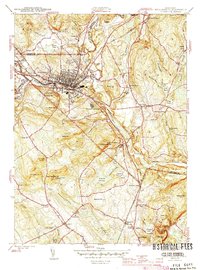
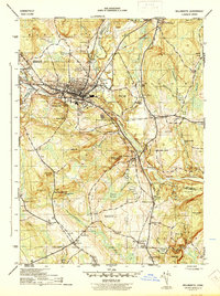
Editions of this 1945 Willimantic Map
3 editions found
Other maps of this area

1892 · Woodstock
USGS Topo · 1:62,500

1892 · Tolland
USGS Topo · 1:62,500

1892 · Norwich
USGS Topo · 1:62,500

1892 · Gilead
USGS Topo · 1:62,500

1921 · Tolland
USGS Topo · 1:62,500

1921 · Woodstock
USGS Topo · 1:62,500

1943 · Fitchville
USGS Topo · 1:31,680

1944 · South Coventry
USGS Topo · 1:31,680
1944 · Hampton
USGS Topo · 1:31,680

1944 · Columbia
USGS Topo · 1:31,680