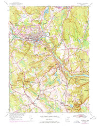
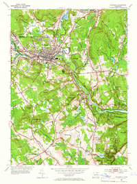
1953 Map of Willimantic
USGS Topo · Published 1971About this map
The confluence of the Willimantic River and Natchaug River serves as the industrial and transit heart of the region, where the urban center of Willimantic anchors a complex network of rail and water. Both the Penn Central and Vermont Central railroads traverse the landscape, connecting major settlements like South Windham and North Franklin. This mid-century view shows a rural economy transitioning toward modern utility, evidenced by the Windham Airport and the Willimantic Reservoir. Genealogy researchers can find numerous small burial grounds and local institutions scattered across the hills, including St Joseph Cemetery, Trumbull Cemetery, and Liberty Hill Cemetery. The map also captures several distinct schools, such as the Lebanon School and Pleasure Hill School, alongside recreational landmarks like the Willimantic Camp Ground.
Find a feature on this map
71 named features on this map. Tap any name to fly to it.
Don’t see what you’re looking for? This feature index may not catch every label — zoom into the map to look around manually.
Map Details
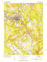
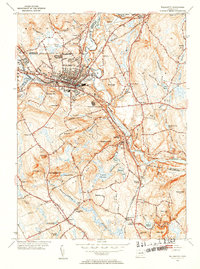
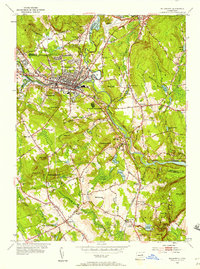
Editions of this 1953 Willimantic Map
5 editions found
Other maps of this area

1892 · Woodstock
USGS Topo · 1:62,500

1892 · Tolland
USGS Topo · 1:62,500

1892 · Norwich
USGS Topo · 1:62,500

1892 · Gilead
USGS Topo · 1:62,500

1921 · Tolland
USGS Topo · 1:62,500

1921 · Woodstock
USGS Topo · 1:62,500

1943 · Fitchville
USGS Topo · 1:31,680

1944 · South Coventry
USGS Topo · 1:31,680
1944 · Hampton
USGS Topo · 1:31,680

1944 · Columbia
USGS Topo · 1:31,680