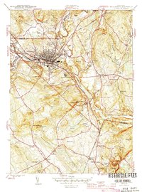
1945 Map of Willimantic
USGS Topo · Published 1945About this map
The industrial and rail hub of Willimantic anchors this mid-century survey, where the confluence of the Natchaug River and Willimantic River meets the heavy infrastructure of the Central Vermont and New York New Haven and Hartford railroads. This era of the landscape reveals a dense network of local landmarks, from the Windham Airport and State Rifle Range in the north to the Willimantic Camp Ground further south.
Find a feature on this map
76 named features on this map. Tap any name to fly to it.
Don’t see what you’re looking for? This feature index may not catch every label — zoom into the map to look around manually.
Map Details
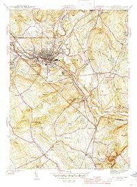
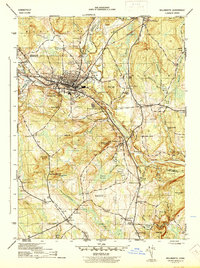
Editions of this 1945 Willimantic Map
3 editions found
Other maps of this area

1892 · Woodstock
USGS Topo · 1:62,500

1892 · Tolland
USGS Topo · 1:62,500

1892 · Norwich
USGS Topo · 1:62,500

1892 · Gilead
USGS Topo · 1:62,500

1921 · Tolland
USGS Topo · 1:62,500

1921 · Woodstock
USGS Topo · 1:62,500

1943 · Fitchville
USGS Topo · 1:31,680

1944 · South Coventry
USGS Topo · 1:31,680
1944 · Hampton
USGS Topo · 1:31,680

1944 · Columbia
USGS Topo · 1:31,680