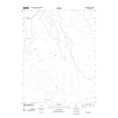
2012 Map of Willis Ridge
USGS Topo · Published 2012About this map
Eel River and its intricate network of tributaries define this Mendocino County landscape, where the settlement of Farley sits near the confluence of Outlet Creek. The terrain is characterized by prominent elevations like Bald Mountain and the namesake Willis Ridge, which separate the various drainages of the Tomki Creek watershed. In the southern portion of the quadrangle, Wheelbarrow Valley and the Saint Louis Ranch indicate localized agricultural and ranching activity within the folded mountain ridges.
Find a feature on this map
23 named features on this map. Tap any name to fly to it.
Don’t see what you’re looking for? This feature index may not catch every label — zoom into the map to look around manually.
Map Details
Editions of this 2012 Willis Ridge Map
This is the sole edition of this map. No revisions or reprints were ever made.
Other maps of this area

1922 · Willits
USGS Topo · 1:62,500

1929 · Eden Valley
USGS Topo · 1:62,500

1942 · Willits
USGS Topo · 1:62,500

1943 · Pomo
USGS Topo · 1:62,500

1944 · Willits
USGS Topo · 1:62,500

1951 · Laytonville
USGS Topo · 1:62,500

1952 · Eden Valley
USGS Topo · 1:62,500

1957 · Ukiah
USGS Topo · 1:250,000

1960 · Ukiah
USGS Topo · 1:250,000

1960 · Potter Valley
USGS Topo · 1:62,500