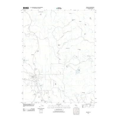
2012 Map of Willits
USGS Topo · Published 2012About this map
Little Lake Valley serves as the central hub for this Mendocino County landscape, where the city of Willits anchors a network of agriculture and mountain terrain. The map details a transition from the structured street grid of the city, featuring E Commercial St and E Valley St, to the surrounding hillsides dotted with historic landholdings. A distinct pattern of settlement is visible through various named ranches, including Muir Ranch, Fife Ranch, and Sunnybrook Ranch, reflecting the region's enduring ranching heritage.
Find a feature on this map
95 named features on this map. Tap any name to fly to it.
Don’t see what you’re looking for? This feature index may not catch every label — zoom into the map to look around manually.
Map Details
Editions of this 2012 Willits Map
This is the sole edition of this map. No revisions or reprints were ever made.
Other maps of this area
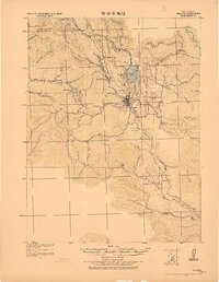
1922 · Willits
USGS Topo · 1:62,500
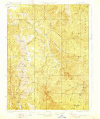
1929 · Eden Valley
USGS Topo · 1:62,500
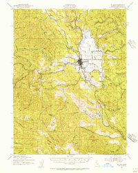
1942 · Willits
USGS Topo · 1:62,500
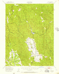
1943 · Pomo
USGS Topo · 1:62,500
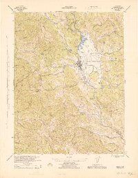
1944 · Willits
USGS Topo · 1:62,500
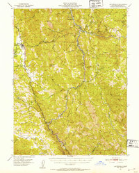
1951 · Laytonville
USGS Topo · 1:62,500
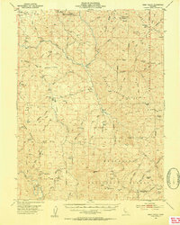
1952 · Eden Valley
USGS Topo · 1:62,500
1957 · Ukiah
USGS Topo · 1:250,000

1960 · Ukiah
USGS Topo · 1:250,000
1960 · Potter Valley
USGS Topo · 1:62,500